Plot No. F/33A/517 Vona Valley MeanWood, Lusaka, Zambia
+260 968047484 | +260 968276961 Call us
info@geophysicsexplo.com Email us

Why We Are Here

We're working to become the region’s leading consultancy and contractor firm in Geophysical and Geological practices by providing high competitive services that use advanced and innovative technological methods which exhaustively meet the needs of our clients.

Who We Are

Geophysics Explo Zambia Limited (GEZ) is a private company registered in the year of 2017. We are specialized in Geophysical and Geological services. The company boasts of expertise in offering comprehensive Geophysical, and Geological consultancy services that meet international standards.

  • We Thrive To Maintain Integrity
  • We Believe That Most Things Are Fulfilled Through Hard Work
  • We Encourage Gratitude To Promote Respect
  • We Endure To Accomplish Excellence

Get in touch

Services

Working To Fulfill Your Desired Goals

01
Image

Ground Magnetic Survey

An essential geophysical method employed in locating subsurface magnetic materials for possible exploration.

02
Image

Ground Radio Metrics Survey

Measuring the spatial distribution of three radioactive elements (potassium-K, thorium-Th and uranium-U) in the top 30-45 cm of the earth's crust.

03
Image

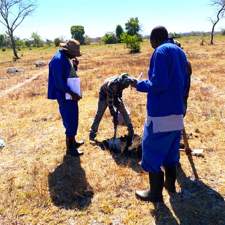
Soil Geochemistry Sampling

Collecting and analyzing various earth materials such as rocks, soils, sediments, water, vegetation, and gasses.

04
Image

Self Potential (SP)

Measuring electric fields generated by one of two phenomenon: corrosion or weathering of ferrous minerals or the flow of groundwater

05
Image

Geological Mapping

Special-purpose map made to show various geological features.

06
Image

Ground Water Investigations

Studying the hydrological cycle of the region, to understand overall concept of type, nature, no: aquifers and quality of groundwater

07
Image

Mine Safety Audits

Ensuring that mining sites comply with the relevant standards, regulations, and best practices to prevent accidents, injuries, and environmental damage.

08
Image

NanoTEM

Measuring terrain conductivity over the length of levees or dikes, to identify lateral discontinuities such as landfill boundaries, or to locate metallic objects such as UXO.

09
Image

Induced Polarization (IP)

Electrical response of materials that was discovered during a direct-current (DC) resistivity survey.

Image

Why Choose Us

A combined 30 year experience in the industry

We thrive in providing multidisciplinary services that support our clients in achieving their desired goals.

Innovative Minds

Experience on its own is not enough.

Progressive Planning

To ensure that fresh ideas are applied.

First Class Equipment

Experience and Innovation with great tools.